About Us
15 Long Years Of Engineering Consultancy and Geospatial Solutions Excellence!
MAS Alkhaleej Company is an Iraqi company for engineering consulting and geospatial solutions that seeks to invest in the field of engineering designs and surveying works, providing various engineering and consultations services including; architectural and urban designs for building and cities, feasibility studies and geospatial and geotechnical solutions following a clear vision for the development of engineering works to serve different disciplines
Our Partners
We are the Geospatial solution heads and produce the most reliable and trendy solution you are looking for.
Engineering Consultancy
“We help you walk on the right and reliable path based on expert advice.”
Survey Services
Improved project planning and design and Geospatial surveys provide essential information for project planning and design
Geospatial solutions
Geospatial provide clients with precise and reliable spatial data, ensuring that they have accurate information about the features and characteristics of the surveyed area.
TRAINING
“We have a team of experts who have the experience and capability to educate young people to enter this field.”
survey instrument calibration
“Our company has the capability for controlling, maintaining, and training on Survey Instrument Calibration devices.”
The only place where you’ll get the perfect solution for all your Geospatial needs.
Some of What We Do!
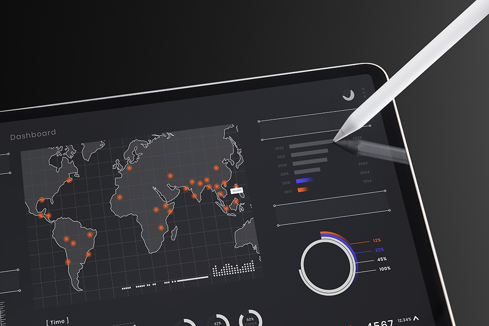
Geodetic Survey
A geodetic survey determines the precise position of permanent points on the earth’s surface, taking into account the shape, size and curvature of the earth
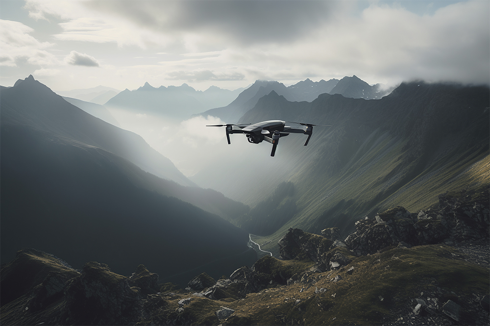
Drone Scanning
In drone survey missions, the choice between photogrammetry and LIDAR depends heavily on the exact application. You also need to consider operational factors, such as cost and complexity. Knowing what outputs you really need will help you make the right decision
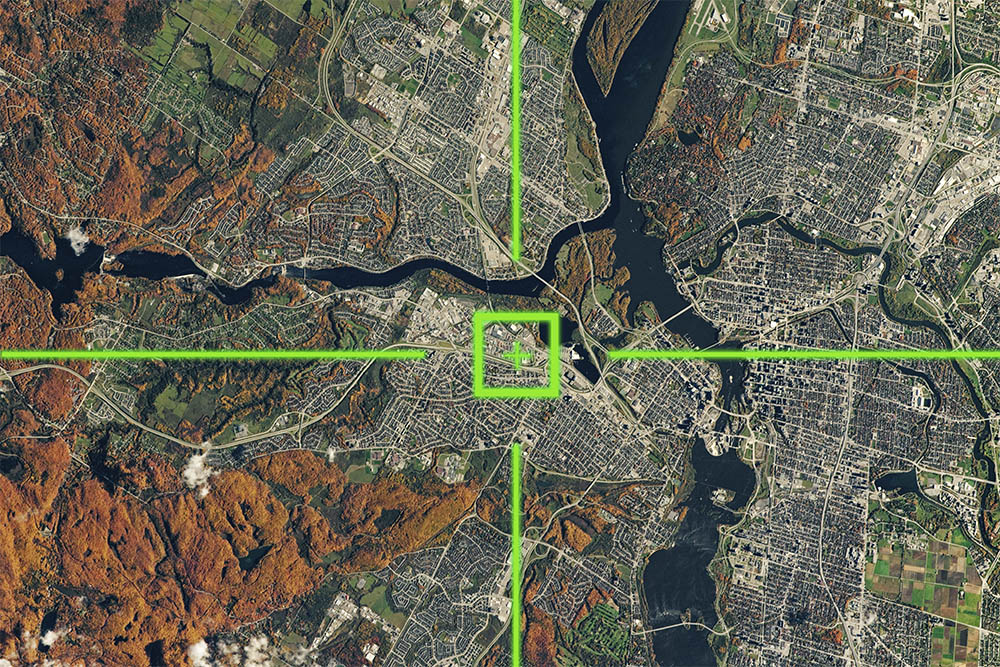
Aerial Photogrammetry of Cities
enables the accurate mapping of 3D coordinates on the ground, using 2D coordinates measured on stereo aerial photographs that see the same points on the ground from two or more different perspectives
OUR CLIENTS
Mas Alkhaleej provides integrated solutions to the infrastructure and project requirements of our clients across a range of industries and geographic locations.


Our career started in 2008 under the name (Mas Engineering bureau), where we played the role of partner in several vital engineering projects and provided our services to a wide range of private and public-sector clients. After a series of continuous successes, MAS bureau was registered as a private company for engineering designs and surveying works according to local regulations of Iraqi Companies with Registration No. M.S.A.-2-19417.
"We have business dealings with various sectors and departments, including service, construction, and urban sectors."
